|
Thumbnail
|
File Name (links to original full-size file)
|
Caption
|
|
 |
With the GPS receiver in my pocket, it was still able to see eleven satellites out the window of the plane, and to use nine.
|
||
 |
The Navicore, which stores its maps on a 2Gb removable SD card, was able to track progress along the ground during the flight from Santa Barbara to Los Angeles.
|
||
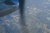 |
A view of the hills above Malibu out the window of the Embraer 120 from seat 4A..
|
||
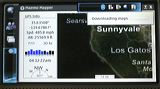 |
While Maemo Mapper was able to use the GPS receiver and give lat/lon/alt/heading readings, it wanted to download maps from the Web, which doesn't work in a plane without a Net connection. Without a fresh download, the map doesn't match the lat/lon readings on the left.
|
||
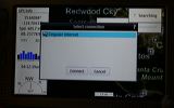 |
Cingular Internet is a defaulted cell phone connection, and saw no wi-fi connections to the Net. Flight regulations prohibit using a cell phone while in the air.
|
||
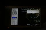 |
While Maemo Mapper was able to use the GPS receiver and give lat/lon/alt/heading readings, it wanted to download maps from the Web, which doesn't work in a plane without a Net connection. Without a fresh download, the map doesn't match the lat/lon readings on the left.
|
||
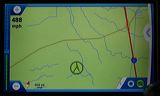 |
Navicore's view to the ground about midway between Los Angeles and Oakland. Note the speed reading in the upper left.
|
||
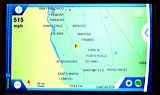 |
Navicore's zoomed-out view to the ground about midway between Los Angeles and Oakland. Note the speed reading in the upper left.
|
||
 |
Navicore's zoomed-out view to the ground about midway between Los Angeles and Oakland. Note the speed reading in the upper left.
|
||
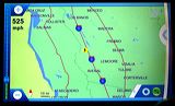 |
Navicore will zoom out to any distance (such as this one), but will always snap back to the defaulted low-altidude (driving) level.
|
||
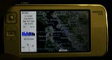 |
Trying Maemo Mapper on the LAX-OAK flight. The only useful data are the GPS readings. These include altitude, which the equivalent Navicore display does not. On the other hand, Navicore has its maps in memory, and does not need to download them from the Net.
|
||
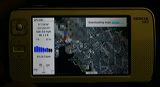 |
Trying Maemo Mapper on the LAX-OAK flight. The only useful data are the GPS readings. These include altitude, which the equivalent Navicore display does not. On the other hand, Navicore has its maps in memory, and does not need to download them from the Net (which Maemo Mapper is failing to do in this case, because there is no Net connection).
|
||
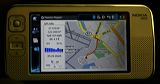 |
Maemo Mapper will create a track that leaves a red line. The blue dot and are at the leading end. Here I'm taking the a bus to a BART station from the airport in Oakland. The GPS receiver is in my pocket.
|
||
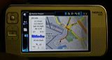 |
Maemo Mapper will create a track that leaves a red line. The blue dot and are at the leading end. Here I'm taking the a bus to a BART station from the airport in Oakland. The GPS receiver is in my pocket.
|
||
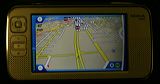 |
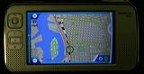
Here we're in Navicore's 3D view of the roads ahead. OUr road here is actually rails, because we're in a BART train headed to San Francisco from Oakland
|
||
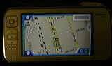 |
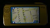
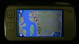
Here we're in Navicore's 2D view, which shows BART's railroad tracks as dotted lines. The 3D view only shows roads (presumably because your car or truck is not on rails).
|
||
 |
|
||
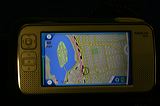 |
Here we're in Navicore's 2D view, which shows BART's railroad tracks as dotted lines. The 3D view only shows roads (presumably because your car or truck is not on rails).
|
||
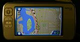 |
Here we're in Navicore's 2D view, which shows BART's railroad tracks as dotted lines. The 3D view only shows roads (presumably because your car or truck is not on rails).
|
||
 |
|
||
 |
|
||
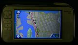 |
Here we're in Navicore's 2D view, which shows BART's railroad tracks as dotted lines. The 3D view only shows roads (presumably because your car or truck is not on rails).
|
||
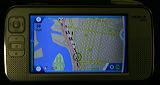 |
Here we're in Navicore's 2D view, which shows BART's railroad tracks as dotted lines. The 3D view only shows roads (presumably because your car or truck is not on rails).
|
||
 |
|
||
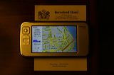 |
Maemo Mapper at the hotel in San Francisco. The GPS receiver was at the window, on one side of the room. The N800 here was on a table across the room, near the door. Over on another table was the Nokia E62 mobile phone which the N800 used for downloading maps off the Web. All were connected by bluetooth.
|
||
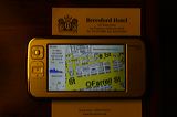 |
Maemo Mapper at the hotel in San Francisco. The GPS receiver was at the window, on one side of the room. The N800 here was on a table across the room, near the door. Over on another table was the Nokia E62 mobile phone which the N800 used for downloading maps off the Web. All were connected by bluetooth.
|
||
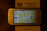 |
Maemo Mapper at the hotel. The GPS receiver was at the window, on one side of the room. The N800 here was on a table across the room, near the door. Over on another table was the Nokia E62 mobile phone which the N800 used for downloading maps off the Web. All were connected by bluetooth.
|
||
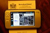 |
Maemo Mapper at the hotel in San Francisco. The GPS receiver was at the window, on one side of the room. The N800 here was on a table across the room, near the door. Over on another table was the Nokia E62 mobile phone which the N800 used for downloading maps off the Web. All were connected by bluetooth.
|
||
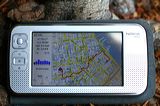 |
The red line shows the trail followed in a taxi between the hotel on Sutter and an appointment at Howard and Spear Streets. In Maemo Mapper, slow traffic or walking speeds leaves a wobbly line.
|
||
 |
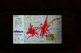
One glitch with Maemo Mapper was the tendency of the GPS to show wandering results while sitting still. This happened even when the GPS was "fixed" on a location.
|
||
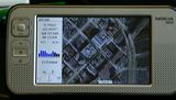 |
A close-up view from Virtual Earth. Maemo Mapper allows downloading of maps from other sources as well, including Google Maps.
|
||
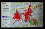 |
Here's what Maemo Mapper showed after the N800 and the GPS receiver were left on all night.
|
||
 |
|
||
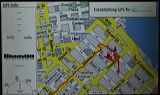 |
This is the red track left after a cab ride and a few minutes at a coffee shop.
|
||
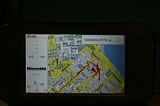 |
This is the red track left after a cab ride and a few minutes at a coffee shop.
|
||
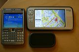 |
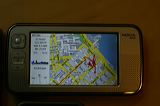
We used three devices provided by Nokia: the Linux-based N800 Internet Tablet, an E62 cell phone, and an LD-3W GPS receiver. The phone used the Cingular/AT&T network.
|
||
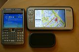 |
Three collaborating instruments provided by Nokia: the N800, an E62 phone, and a GPS receiver. The phone used the Cingular/AT&T network.
|
||
 |
This is the red track left after a cab ride and a few minutes at a coffee shop.
|
||
 |
This is the red track left after a cab ride and a few minutes at a coffee shop.
|
||
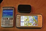 |
Three collaborating instruments provided by Nokia: the N800, an E62 phone, and a GPS receiver. The phone used the Cingular/AT&T network.
|
||
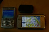 |
Three collaborating instruments: the N800, an E62 phone, and a GPS receiver
|
||
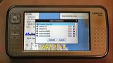 |
The N800 could see several wi-fi access points in addition to the cellular connection — and whether the connection was locked.
|
||
 |
The N800 could see several wi-fi access points in addition to the cellular connection. The N800 reliably sees — and can use — more access points than any laptop to which we compared its performance.
|
||
 |
|
||
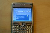 |
The E62 always wants to okay downloads — even for Google Maps (a free and very handy cell phone application). If there is a way to turn off this annoying (though in some cases cost-saving) "feature" of the E62, I could not find it.
|
||
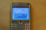 |
The E62 always wants to okay downloads — even for Google Maps (a free and very handy cell phone application). If there is a way to turn off this annoying (though in some cases cost-saving) "feature" of the E62, I could not find it.
|
||
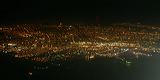 |
A view of San Francisco en route to Houston from Oakland. GPS can only be used on Continental flights at above 10000 feet.
|
||
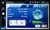 |
The GPS data page in Navicore. The other two tabs on the top are settings (the gear) and Bluetooth.
|
||
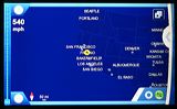 |
Navicore's map view zoomed out all the way, showing progress from Oakland to Houston.
|
||
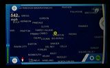 |
Navicore's map view zoomed out about 2/3 of the way.The view is temporary. The system always goes back to a view close to the ground.
|
||
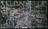 |
In Maemo Mapper a red line with a blue pointer at the leading end draws the taxi's track from the airport toward our hotel in downtown Houston. Note how straight the red line is in this case.
|
||
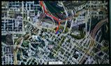 |
At faster speeds Maemo Mapper's track is less wobbly than at slow speeds.
|
||
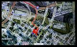 |
Once at the hotel, the line starets to wobble around again. The red scribbles at the end of the line here were drawn by Maemo Mapper while the GPS receiver sat on the hotel room window sill.
|
 |